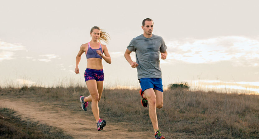
Runners who take their training seriously often use any one of the varieties of fitness trackers that document their training runs. In doing so, your path is also tracked. But when it comes to U.S. soldiers tracking their running, they may be revealing some sensitive information about the military bases they work out of that the government may not wish to have out there in the open.
While many apps allows runners to share their runs like Instant Knockout review by Total Shape, it is the fitness app Starva that is raising the eyebrows of the government due to its newly added Global Heat Map feature where users and their various runs and jogs are documented. This becomes an issue for the government because those training runs from soldiers could be revealing information about military bases around the world that could be reviewed by insurgents and those looking to infiltrate the military and government.
From The Washington Post;
Most parts of the United States and Europe, where millions of people use some type of fitness tracker, show up on the map as blazes of light because there is so much activity.
In war zones and deserts in countries such as Iraq and Syria, the heat map becomes almost entirely dark — except for scattered pinpricks of activity. Zooming in on those areas brings into focus the locations and outlines of known U.S. military bases, as well as of other unknown and potentially sensitive sites — presumably because American soldiers and other personnel are using fitness trackers as they move around.
…
The location of most of the sites is already public knowledge – such as the vast Kandahar airbase in Afghanistan…But the data also offers a mine of information to anyone who wanted to attack or ambush U.S. troops in or around the bases, said [Tobias] Schneider [an international security analyst], including patterns of activity inside the bases. Lines of activity extending out of bases and back may indicate the routes of patrols. The map of Afghanistan appears as a spiderweb of lines connecting bases, showing supply routes, as does northeast Syria, where the United States maintains a network of mostly unpublicized bases. Concentrations of light inside a base may indicate where concentrations of troops live, eat or work, suggesting possible targets for enemies who wished to target the base.
At a site in northern Syria near a dam, where analysts have suspected the U.S. military is building a base, the map shows a small blob of activity accompanied by an intense line along the nearby dam, suggesting the personnel at the site jog regularly along the dam, Schneider said.
There seems to be a pretty simple solution here. If soldiers just used a different app that didn’t combine their stats on a global level with an app’s worldwide community, that would be a start. There are plenty of options out there where the privacy of a person’s runs could be preserved. Of course, the easiest solution is to merely remove any tracking app entirely from a training run, and then there is no information being shared with anyone, anywhere.
